
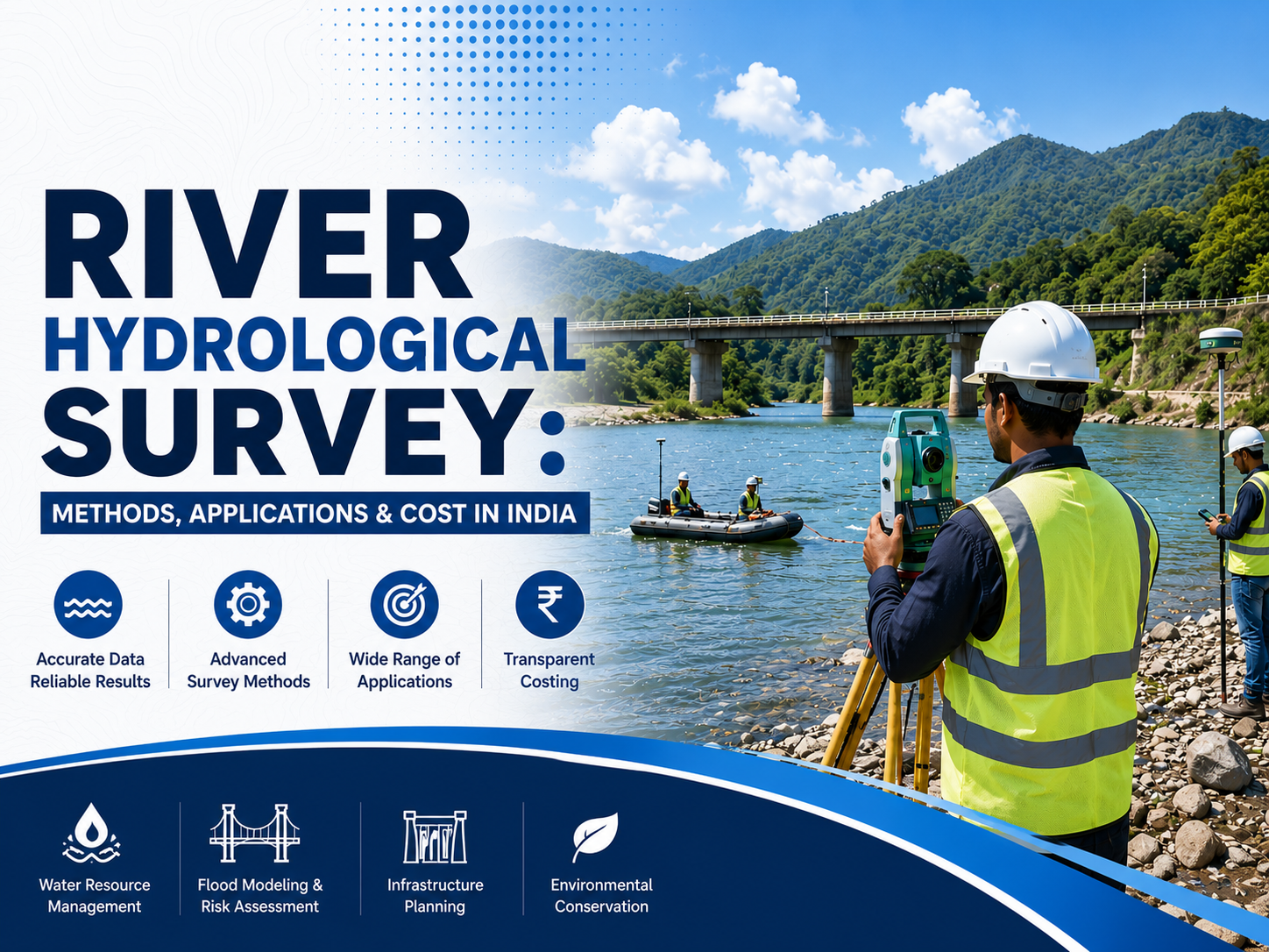
Rivers are among the most valuable natural resources, supporting agriculture, industries, urban development, drinking water supply, and ecological balance. As infrastructure development continues across India, understanding river behavior has become increasingly important for planning safe and sustainable projects.
A River Hydrological Survey provides the scientific data required to evaluate river flow, water levels, sediment movement, channel characteristics, and flood potential.
This information helps engineers, government agencies, and developers design infrastructure that can withstand changing hydrological conditions while minimizing environmental impacts.
A professional hydrological survey involves systematic field investigations, hydrological analysis, topographic measurements, and hydraulic assessments to understand the dynamics of a river system.
The collected data supports the planning and design of bridges, dams, irrigation systems, pipelines, flood protection structures, and riverfront developments. It also plays a critical role in ensuring regulatory compliance and reducing project risks associated with flooding, erosion, and unstable river conditions.
What is a Hydrological Survey?
A hydrological survey is the scientific process of collecting and analyzing information related to the movement, quantity, and distribution of surface water within a watershed or river basin.
The survey examines rainfall patterns, runoff characteristics, river discharge, groundwater interaction, sediment transport, and seasonal variations in water levels. The objective is to generate reliable hydrological data that supports engineering design, water resource management, environmental studies, and disaster mitigation planning.
Accurate hydrological information allows project planners to make informed decisions while reducing uncertainties during construction and long-term operation.
What is a River Hydrological Survey?
A River Hydrological Survey is a specialized branch of hydrological investigation that focuses specifically on rivers and streams. The survey evaluates river geometry, channel alignment, cross-sectional profiles, discharge, flow velocity, flood levels, riverbank stability, sediment movement, and hydraulic characteristics.
These studies help determine how a river behaves during different seasons, including normal flow conditions, heavy rainfall events, and extreme floods. By understanding these patterns, engineers can design infrastructure that remains safe, efficient, and durable throughout its service life.
River hydrological investigations are also essential for identifying erosion-prone areas, sediment deposition zones, channel migration, and potential flood hazards that may impact nearby developments.
Methods Used in River Hydrological Survey
Modern river investigations combine traditional field measurements with advanced surveying technologies to achieve high levels of accuracy. Cross-sectional surveys are conducted at multiple locations to determine river width, depth, bank slopes, and channel geometry. These measurements form the foundation for hydraulic calculations and flood modelling.
River discharge measurements are performed using specialized instruments such as Acoustic Doppler Current Profilers (ADCP), current meters, or velocity-area methods to determine the volume of water flowing through the river. Continuous monitoring of water levels helps establish seasonal fluctuations and flood peaks that influence engineering design.
Bathymetric surveys are carried out to map the underwater profile of the riverbed using sonar equipment and GPS technology. These surveys identify deep pools, sediment deposits, and riverbed irregularities that are important for bridge foundations, dredging projects, and navigation planning. Sediment analysis is another important component of a River Hydrological Survey, helping engineers understand erosion patterns, sediment transport, and deposition that can affect hydraulic structures over time.
Applications of River Hydrological Survey
A River Hydrological Survey supports a wide range of infrastructure and environmental projects across India. Before constructing bridges and highways, engineers rely on hydrological investigations to estimate river discharge, flood levels, scour depth, and hydraulic forces acting on bridge foundations. These studies ensure that bridges are designed to remain safe even during extreme flood events.
Hydrological investigations are equally important for dams, barrages, reservoirs, and irrigation projects, where accurate flow measurements determine storage capacity, spillway design, and water allocation strategies.
Flood management authorities use hydrological survey data to prepare flood hazard maps, identify vulnerable areas, and develop effective flood mitigation plans that reduce damage to communities and infrastructure.
Urban development projects located near rivers require hydrological assessments to evaluate flood risks, drainage conditions, and riverbank stability before construction begins.
Riverfront developments, industrial projects, pipelines, intake wells, and water supply systems also depend on accurate hydrological information for safe and sustainable planning. Environmental agencies use these surveys to monitor river health, evaluate ecological impacts, and support conservation initiatives that protect aquatic ecosystems.
Factors Affecting the Cost of a Hydrological Survey in India
The cost of a hydrological survey in India varies depending on the size and complexity of the project. River length, survey area, accessibility of the site, number of survey locations, required level of accuracy, and field conditions all influence the overall project cost. Surveys involving bathymetric mapping, hydraulic modelling, drone surveys, GIS analysis, and advanced data processing generally require greater technical expertise and specialized equipment, resulting in higher costs.
Project timelines, reporting requirements, regulatory documentation, and the need for long-term monitoring also affect the final cost. Since every river has unique geographical and hydrological characteristics, professional survey providers typically assess project requirements before preparing a customized proposal.
Importance of Professional River Hydrological Survey
Infrastructure projects developed without proper hydrological investigation face increased risks from flooding, erosion, foundation instability, and inadequate hydraulic capacity.
Reliable survey data minimizes these risks by providing engineers with scientifically validated information required for accurate design and planning. Professional investigations also improve regulatory compliance, reduce construction uncertainties, optimize project costs, and enhance public safety.
With increasing climate variability and changing rainfall patterns across India, detailed hydrological investigations have become even more important for resilient infrastructure planning. Accurate river data supports sustainable development while protecting both natural resources and long-term investments.
Conclusion
A River Hydrological Survey forms the foundation of successful water resource management and infrastructure development. By combining detailed field investigations with advanced surveying technologies, hydrological analysis, and hydraulic assessments, these surveys provide accurate information for engineering design, flood management, irrigation planning, and environmental conservation.
Whether the objective is constructing bridges, designing flood protection systems, developing riverfront infrastructure, or planning irrigation projects, a comprehensive hydrological survey ensures that decisions are based on reliable scientific data.
Investing in professional river hydrological investigations helps improve project safety, reduce environmental risks, and support sustainable development across India.
Frequently Asked Questions (FAQs)
1. What is the purpose of a River Hydrological Survey?
A River Hydrological Survey is conducted to study river flow, water levels, discharge, sediment movement, and channel characteristics. The survey provides accurate data for designing bridges, dams, irrigation systems, flood control structures, and other river-related infrastructure.
2. Why is a hydrological survey important before construction projects?
A hydrological survey helps engineers understand flood risks, river behavior, erosion patterns, and hydraulic conditions. This information ensures safer designs, regulatory compliance, and long-term structural stability.
3. Which industries require River Hydrological Survey services?
River hydrological surveys are commonly required for highway projects, railways, dams, hydropower plants, irrigation departments, urban development authorities, mining projects, industrial developments, and environmental conservation initiatives.
4. What factors determine the cost of a hydrological survey in India?
The cost depends on the survey area, river size, site accessibility, required accuracy, equipment used, bathymetric survey requirements, hydraulic modelling, GIS analysis, reporting scope, and overall project complexity.
Comments
Log in or sign up to join the conversation.