
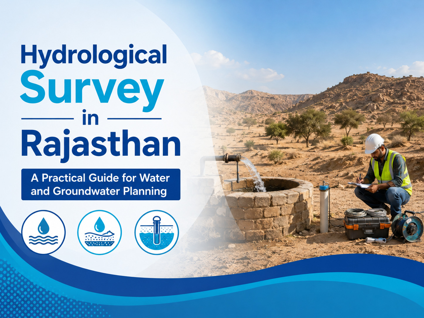
Rajasthan has highly varied terrain, climate conditions, and groundwater characteristics. From desert areas in the west to hard-rock formations and alluvial plains in other parts of the state, water availability can change significantly from one location to another.
This makes proper site investigation important for projects that depend on groundwater, surface water, drainage, irrigation, mining, infrastructure, or long-term water planning.
A hydrological survey practical guide helps evaluate the water-related characteristics of a project area and provides technical information that can support better planning. Instead of depending only on general assumptions about groundwater or rainfall, a site-specific investigation considers local geological conditions, water availability, drainage behaviour, recharge potential, and other factors relevant to the project.
Why Is a Hydrological Survey Important in Rajasthan?
Water conditions in Rajasthan are not uniform. A method that works effectively in one geological setting may not provide the same results in another. Desert areas may involve saline or brackish groundwater conditions, while parts of the Aravalli region have groundwater associated with weathered and fractured rock formations. Alluvial areas can have different groundwater characteristics and extraction pressures.
A proper Hydrological Assessment helps understand these variations before major decisions are made. For industries, agricultural developments, infrastructure projects, mining activities, and other water-dependent developments, reliable information about the local water environment can help reduce uncertainty during planning.
A survey can also provide useful information for identifying potential groundwater zones, understanding drainage conditions, evaluating water availability, and preparing technical reports where project requirements call for detailed water-resource information.
What Does a Hydrological Survey Include?
The scope of a survey depends on the nature, location, and requirements of the project. A professional investigation generally begins with understanding the site and its surrounding conditions. Available geological and hydrological information can be reviewed along with field observations and appropriate technical investigations.
Depending on the project, the study may consider groundwater conditions, surface-water movement, recharge characteristics, drainage patterns, aquifer behaviour, geological formations, and existing water sources.
For a borewell-related requirement, a Hydrological Survey for Borewell can help in evaluating the site before drilling. Understanding subsurface conditions is important because groundwater availability cannot be assumed simply from the presence of water in nearby locations.
Local geology, fractures, soil and rock characteristics, and groundwater conditions can influence the suitability of a location.
The resulting findings can then be compiled into a technical report that presents relevant observations and interpretations for the intended project purpose.
Hydrological Conditions Across Different Parts of Rajasthan
Rajasthan's geographical diversity makes site-specific assessment particularly important. Western districts have extensive arid and desert terrain, where groundwater quality and availability can vary considerably. In some locations, fresh and saline groundwater conditions may occur within the same broader aquifer system, making interpretation more complex.
The Aravalli region presents another type of challenge. Groundwater in hard-rock areas can be influenced by weathered zones, fractures, joints, and other geological structures. Identifying productive groundwater zones therefore requires an understanding of local subsurface conditions rather than relying on a single generalized assumption.
In eastern and southeastern Rajasthan, alluvial and sedimentary formations can provide different groundwater opportunities, but extraction pressure and changing water levels also need to be considered. A detailed Hydrological Study can bring together field observations and relevant technical information to provide a clearer picture of the site's water conditions.
Role of Hydrological Assessment in Project Planning
A detailed Hydrological Assessment is useful when water availability, drainage, or groundwater behaviour can influence the success of a project. For example, a developer planning a large site may need to understand how rainfall moves through the area, where water naturally accumulates, and whether drainage arrangements need additional consideration.
For agricultural projects, water availability and recharge conditions can influence irrigation planning.
Mining projects may need to understand groundwater interaction with excavation areas, while industrial developments may require information about groundwater extraction and local water conditions.
Renewable energy and infrastructure projects can also benefit from site-specific water assessment. Construction activities may require water, while drainage and rainfall-related conditions can affect site design. In such cases, hydrological information can contribute to better planning from the early stages of development.
Hydrological Survey for Borewell Planning
Borewell drilling involves significant investment, and selecting a location without adequate site investigation can increase uncertainty. A hydrological survey for borewell focuses on understanding the conditions that may influence groundwater occurrence and borewell suitability.
The investigation can consider the geological setting, available groundwater information, surface features, and appropriate geophysical observations where required. These findings can help identify areas that warrant further consideration for drilling.
However, no survey should be presented as a guarantee that a particular borewell will produce a fixed quantity of water. Groundwater is naturally variable, and actual yield can depend on geological conditions, seasonal changes, drilling depth, construction quality, and other site-specific factors. A professional report should therefore communicate findings realistically and clearly.
Why Professional Site Investigation Matters
One of the biggest advantages of a professional survey is that it converts scattered information into a structured technical assessment. Rather than making decisions only on the basis of nearby wells or general regional data, the project can be evaluated according to its actual location and requirements.
Bhoojal Survey provides hydrological survey support for different project requirements across Rajasthan. Its approach focuses on site-specific investigation and technical interpretation so that clients can use the resulting information for informed project planning.
How to Choose the Right Hydrological Survey Service
Before selecting a service provider, project owners should consider whether the team understands the geological and hydrological conditions of the area. Experience with different terrains is important because Rajasthan includes desert, hard-rock, and alluvial settings.
A professional Hydrological Survey can help evaluate these site-specific conditions and provide useful information for project planning.
It is also useful to understand what field investigations will be carried out, what type of report will be provided, and whether the methodology is appropriate for the intended purpose.
The quality of interpretation is just as important as the field data because raw observations need to be converted into useful technical conclusions. A detailed hydrological assessment can bring relevant findings together to support informed decisions.
Bhoojal Survey approaches each project according to its location, purpose, and investigation requirements. This helps ensure that the final assessment is relevant to the actual project instead of being based on generic information. Depending on the requirement, a Hydrological Study can provide valuable technical insights for groundwater, borewell, infrastructure, and water-resource planning.
Making Better Water-Related Decisions
A hydrological survey is not simply a report prepared at the end of a project. When carried out at the right stage, it can become an important planning tool. Understanding groundwater conditions, drainage behaviour, recharge potential, and site characteristics early can help project owners identify potential challenges before construction or drilling begins.
Bhoojal Survey focuses on providing practical and technically relevant water-resource investigation services based on project requirements. With appropriate field assessment and interpretation, clients can gain a clearer understanding of the site's water conditions and plan their next steps with greater confidence.
FAQs
1. What is a hydrological survey?
A hydrological survey is a technical investigation used to understand water-related conditions at a specific location. Depending on the project, it may examine groundwater, surface-water movement, drainage, recharge, geological conditions, and other relevant factors.
2. Why is a hydrological survey useful in Rajasthan?
Rajasthan has diverse geological and climatic conditions, so groundwater and water availability can vary significantly between locations. A site-specific survey helps provide relevant information for water-resource and project planning.
3. Is a hydrological survey required before drilling a borewell?
A survey can be highly useful before borewell drilling because it helps evaluate local subsurface and groundwater conditions. It can reduce uncertainty during site selection, although no survey can guarantee a specific borewell yield.
4. What is included in a hydrological study?
The scope depends on the project. A hydrological study may include site investigation, groundwater evaluation, geological interpretation, drainage assessment, recharge considerations, field observations, and preparation of a technical report.
5. Can hydrological surveys support large infrastructure projects?
Yes. Hydrological information can support planning for infrastructure, industrial, agricultural, mining, renewable-energy, and other projects where groundwater, surface water, drainage, or water availability can affect development decisions.
Comments
Log in or sign up to join the conversation.