
A borewell is a significant investment for agricultural, residential, industrial and commercial water requirements. However, drilling without understanding local groundwater conditions can lead to unnecessary expense, unsuitable locations or disappointing results. A Hydrological Survey for Borewell helps assess the factors that influence groundwater occurrence before drilling begins.
A Hydrological Study combines information about geology, terrain, rainfall, drainage and groundwater conditions to support more informed borewell planning. It does not guarantee water at a particular depth, but it can help identify locations with more favourable groundwater potential and reduce reliance on guesswork.
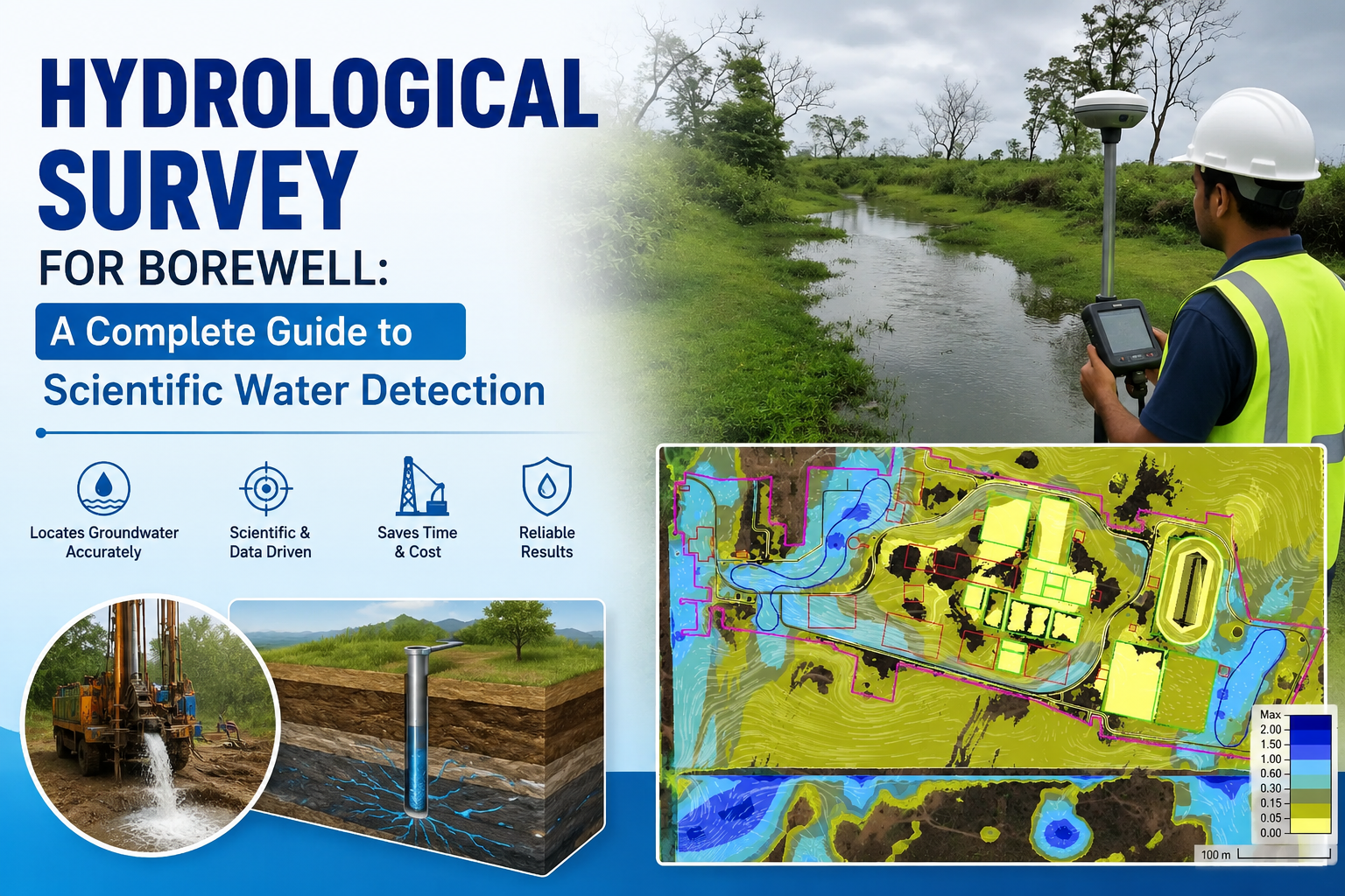
What Is a Hydrological Survey for Borewell?
A hydrological survey examines how water moves through the ground and across the surrounding landscape. For borewell planning, the assessment focuses on groundwater availability, recharge conditions, geological formations and the suitability of a proposed drilling location.
The study may consider rainfall records, surface drainage, topographic data, geological maps and information from existing wells. Where appropriate, geophysical investigations can provide additional information about subsurface formations.
For example, two nearby plots may have different groundwater prospects because of variations in rock type, fractures, elevation or drainage. A site-specific assessment helps identify these differences before drilling decisions are made.
Why Is a Hydrological Study Important Before Drilling?
Understanding Groundwater Conditions
Groundwater is not distributed evenly beneath the surface. Its occurrence depends on geological formations, fractures, soil conditions and recharge. A hydrological study helps establish the local setting and identify factors that may influence groundwater availability.
Selecting a Suitable Borewell Location
A well-chosen location can improve the prospects of accessing groundwater-bearing formations. Survey findings can help compare possible drilling points and identify areas that warrant further investigation.
Reducing Unnecessary Drilling Costs
Drilling is expensive, particularly when a borewell must be deepened or relocated. Scientific assessment can support better planning and help avoid decisions based only on surface appearance or unverified assumptions.
Key Factors Considered in Borewell Assessment
Geology and Rock Formations
The type of rock beneath a site influences how groundwater is stored and transmitted. In hard-rock areas, fractures and weathered zones may be particularly important. In alluvial regions, groundwater may occur within permeable sand and gravel layers.
Understanding these formations helps determine which subsurface conditions may be favourable for groundwater occurrence.
Rainfall and Recharge
Rainfall is an important source of groundwater recharge. A hydrological study may examine rainfall patterns, surface drainage and the movement of water into the ground.
Recharge conditions vary according to soil, slope, land use and geological characteristics. These factors help explain why groundwater levels and availability can differ between locations.
Topography and Drainage
Elevation and surface drainage influence how rainfall flows across a landscape. Low-lying areas, natural drainage channels and catchment boundaries may provide useful information about water movement.
However, surface water accumulation alone does not confirm the presence of a productive aquifer. Subsurface conditions must also be considered.
Methods Used in a Hydrological Survey
Site Inspection and Data Collection
The assessment begins with a review of the proposed site and its surroundings. Information about existing borewells, water levels, geological conditions and local drainage can provide useful context.
Geophysical Investigation
Geophysical methods, such as electrical resistivity surveys, may be used to investigate subsurface formations. These techniques can help identify variations in geological materials and possible water-bearing zones.
Results should be interpreted alongside geological and hydrological information rather than treated as a guarantee of groundwater yield.
Groundwater Assessment
Available groundwater data, nearby well records and local hydrogeological conditions can help estimate the likely suitability of a drilling location. The assessment may also consider seasonal changes in groundwater levels.
What Does a Hydrological Study Report Include?
A typical report may contain:
Site location and project details
Geological and hydrogeological observations
Rainfall and recharge information
Existing well and groundwater data
Survey findings and interpretation
Recommended drilling locations, where appropriate
Relevant limitations and technical considerations
The report provides a documented basis for borewell planning and helps project owners understand the factors considered during the assessment.
Applications of Borewell Hydrological Surveys
Hydrological Survey for Borewell is relevant to agricultural land, residential properties, industrial facilities, commercial establishments and infrastructure projects.
For agriculture, the assessment can support decisions about irrigation water sources. For industries and commercial developments, it can help evaluate groundwater conditions before planning water-supply infrastructure.
In areas with variable geology, a detailed Hydrological Study can be particularly useful because groundwater occurrence may change considerably over short distances.
Choosing Professional Hydrological Survey Services
A reliable assessment should be based on appropriate data, suitable investigation methods and realistic interpretation of results. It should also explain the limitations of groundwater prediction.
Bhoojal Survey provides groundwater investigation and hydrogeological assessment services to support informed borewell planning and water-resource evaluation.
Conclusion
A Hydrological Survey for Borewell provides valuable information about the geological, hydrological and environmental factors that influence groundwater occurrence. By combining site investigation, geological understanding and suitable survey methods, it helps project owners make more informed drilling decisions.
Although no survey can guarantee a particular water yield or depth, a properly conducted Hydrological Study can reduce uncertainty, support better site selection and improve the planning of groundwater development.
FAQs
1. What is a hydrological survey for a borewell?
It is an assessment of groundwater conditions, geology, rainfall, recharge and other factors that influence the suitability of a borewell location.
2. Does a hydrological study guarantee water?
No. It helps identify favourable groundwater conditions, but actual water availability and yield depend on subsurface conditions and drilling results.
3. Which methods are used in borewell surveys?
Depending on the site, methods may include geological investigation, electrical resistivity surveys, groundwater data analysis and topographic assessment.
4. Why is a borewell survey important before drilling?
It helps reduce uncertainty, compare possible drilling locations and support better planning before committing to drilling costs.
5. What information does a hydrological study report provide?
It may include site observations, geological conditions, groundwater data, survey findings and recommendations relevant to borewell planning.
Comments
Log in or sign up to join the conversation.