
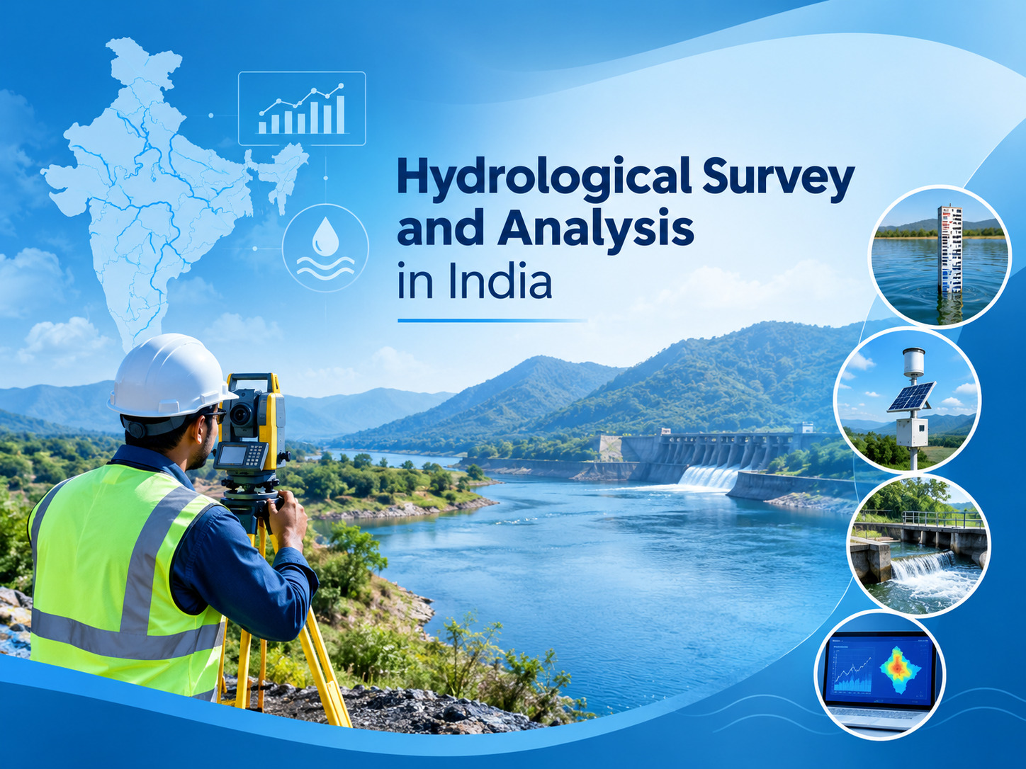
Water plays an important role in agriculture, infrastructure development, environmental planning, urban development, and industrial projects. Understanding how water moves across and below the surface can help project teams make better decisions about drainage, flood risk, water availability, and resource management.
Hydrological survey and analysis involves the systematic study of water movement, distribution, drainage patterns, surface water, rainfall-related conditions, and watershed characteristics. In India, these studies can be useful for projects where water behaviour and availability need to be understood before planning or development begins.
What Is Hydrological Survey and Analysis?
A hydrological survey is a process of collecting and analysing information related to water within a specific area. It may examine surface water bodies, drainage networks, catchment areas, runoff patterns, rainfall conditions, and other factors that influence water movement.
The information collected through a survey can help professionals understand existing hydrological conditions and identify potential concerns related to flooding, drainage, water management, and infrastructure planning.
A detailed Hydrological Survey and Analysis can therefore provide useful technical information for planning and decision-making.
Why Is the Hydrological Survey Important in India?
India has diverse geographical and climatic conditions. Different regions experience variations in rainfall, terrain, drainage systems, groundwater conditions, and seasonal water availability.
These variations make site-specific hydrological assessment important for many development projects.
Understanding Water Movement
Hydrological studies can help identify how water moves through a particular area during different conditions. Understanding runoff and drainage patterns can support better planning of roads, buildings, agricultural areas, drainage infrastructure, and other developments.
Supporting Flood Assessment
Areas with heavy rainfall, low-lying terrain, or limited drainage capacity may experience water accumulation or flooding. Hydrological analysis can provide information that supports flood assessment and planning.
How Hydrological Surveys Are Conducted
The exact methodology depends on the project requirements, location, terrain, and available data. A survey generally involves collecting relevant field and secondary information before analysing the hydrological characteristics of the study area.
Data Collection and Site Assessment
Professionals may examine rainfall data, topography, drainage networks, surface water bodies, watershed characteristics, and other relevant information.
Field observations can also help verify existing conditions and identify drainage features that may not be clear from available datasets.
Hydrological Data Analysis
Collected information can be analysed to understand runoff, drainage behaviour, catchment characteristics, and other water-related conditions.
The findings can then be used to support planning and assessment for the specific project.
Applications of Hydrological Survey in India
A Hydrological survey in india can be relevant to several sectors where water conditions influence project planning.
Infrastructure Development
Roads, bridges, drainage systems, industrial developments, and other infrastructure projects may require information about water movement and drainage conditions.
Hydrological assessment can help project teams understand potential water-related challenges before construction or development.
Agriculture and Water Resource Planning
Agricultural planning depends on water availability, rainfall, runoff, and local drainage conditions. Hydrological information can support decisions related to water management and resource planning.
Environmental Projects
Environmental studies may require an understanding of surface water, watersheds, drainage patterns, and other natural water systems. Hydrological analysis can contribute useful information for environmental planning and assessment.
Hydrological Survey and Groundwater Studies
Surface water and groundwater are connected components of the overall water system. While hydrological surveys focus significantly on water movement and surface conditions, groundwater studies examine subsurface water availability and characteristics.
A groundwater survey can provide additional information when a project requires an understanding of underground water resources.
Combining relevant hydrological and groundwater information can provide a broader understanding of water conditions at a particular site.
Factors Considered During Hydrological Analysis
Several factors may be considered depending on the objectives of the study.
Rainfall and Runoff
Rainfall patterns and runoff behaviour can influence the amount and movement of water across a site or watershed.
Drainage and Catchment Characteristics
Understanding natural and constructed drainage networks can help identify how water flows through an area and where water may accumulate.
Terrain and Land Characteristics
Topography and land use can influence runoff and drainage. Areas with different slopes and surface conditions may respond differently to rainfall events.
Seasonal Conditions
Water availability and movement can change throughout the year. Considering seasonal variations can make hydrological assessment more useful for long-term planning.
Benefits of Professional Hydrological Analysis
Professional hydrological analysis can provide structured information for project planning and water management. It can help identify potential drainage concerns, understand watershed characteristics, support flood-related studies, and provide technical information for infrastructure and environmental projects.
The value of the study depends on the quality of available data, field assessment, methodology, and the specific requirements of the project.
Conclusion
Hydrological Survey and Analysis provides important information about water movement, drainage, runoff, surface water, and watershed characteristics. In India, such studies can support infrastructure development, agriculture, environmental planning, flood assessment, and water resource management.
A site-specific assessment allows project teams to understand local hydrological conditions before making important planning decisions. When combined with relevant groundwater information, it can provide a more complete understanding of water resources and related site conditions.
Bhoojal Survey provides hydrological assessment services designed to support different project requirements across India. Through systematic assessment and analysis, Bhoojal Survey helps organisations obtain useful information for informed water resource and project planning.
Frequently Asked Questions
What is Hydrological Survey and Analysis?
Hydrological Survey and Analysis is the study of water movement, runoff, drainage patterns, surface water conditions, rainfall-related factors, and watershed characteristics within a defined area.
Why is hydrological assessment important?
Hydrological assessment can help understand local water conditions and support planning for infrastructure, flood studies, environmental projects, drainage systems, and water resource management.
Where are hydrological surveys used?
Hydrological surveys can be used for infrastructure projects, agricultural planning, environmental studies, flood assessment, drainage planning, and other projects where water conditions are important.
Is hydrological survey the same as groundwater survey?
No. Hydrological surveys primarily examine water movement, surface water, runoff, drainage, and watershed conditions, while groundwater surveys focus on underground water resources and subsurface conditions.
What factors are considered in hydrological analysis?
Depending on the project, factors can include rainfall, runoff, drainage networks, catchment characteristics, terrain, surface water bodies, land conditions, and seasonal variations.
Comments
Log in or sign up to join the conversation.