
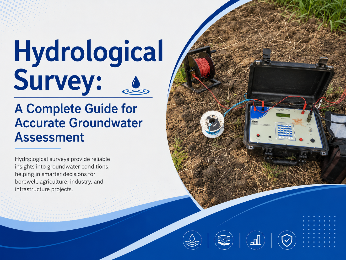
Groundwater plays a vital role in meeting the water requirements of agriculture, industries, commercial establishments, residential developments, and public infrastructure. As dependence on underground water resources continues to increase, scientific groundwater assessment has become essential before initiating borewell drilling or large-scale water extraction projects.
A professional Hydrological Survey provides detailed information about groundwater availability, geological formations, aquifer conditions, and subsurface water movement, helping organizations make informed decisions.
Scientific groundwater investigations reduce uncertainty, improve drilling accuracy, and minimize the risk of unsuccessful borewells. By identifying suitable groundwater-bearing zones before drilling begins, hydrological surveys contribute to sustainable water management while reducing unnecessary financial investment.
What is a Hydrological Survey?
A Hydrological Survey is a scientific study conducted to evaluate groundwater resources, geological formations, aquifers, and underground water-bearing structures. The survey collects and analyzes geological and hydrogeological data to determine the most suitable locations for groundwater extraction and borewell installation.
The investigation includes field observations, geological mapping, groundwater assessment, recharge studies, and scientific analysis. The information obtained helps estimate groundwater availability, identify productive aquifers, and support long-term water resource planning. Hydrological surveys are widely used for agricultural irrigation, industrial water supply, commercial projects, residential developments, and infrastructure planning.
Importance of Hydrological Survey
Groundwater availability differs significantly across regions due to variations in geology, rainfall, soil composition, and underground rock formations. Surface conditions alone cannot accurately indicate the presence or quantity of groundwater beneath the earth. Scientific investigation is therefore essential for obtaining reliable groundwater information before drilling activities begin.
A professional hydrological survey helps reduce drilling failures, improves borewell success rates, and supports efficient groundwater utilization. Accurate groundwater assessment also enables organizations to plan water supply systems with greater confidence while minimizing environmental impact through responsible groundwater extraction practices.
Key Components of a Hydrological Survey
A comprehensive hydrological investigation consists of multiple scientific processes that collectively improve groundwater assessment accuracy.
Geological Investigation
Geological investigation focuses on studying rock formations, weathered zones, fractures, faults, soil characteristics, and structural features that influence groundwater storage. These observations help determine the geological conditions responsible for groundwater accumulation and movement beneath the surface. Detailed geological mapping improves the identification of productive groundwater zones and supports accurate drilling recommendations.
Groundwater Assessment
Groundwater assessment evaluates aquifer characteristics, groundwater depth, recharge potential, seasonal fluctuations, and expected water yield. Scientific evaluation of these factors enables accurate estimation of groundwater availability for different applications. The assessment also supports long-term planning by identifying sustainable groundwater extraction possibilities without excessive resource depletion.
Surface Water Evaluation
Nearby rivers, ponds, lakes, drainage channels, and seasonal water bodies are studied to understand their influence on groundwater recharge. Surface water evaluation provides additional information regarding regional hydrological conditions and groundwater replenishment patterns. This analysis strengthens groundwater resource planning and improves overall survey accuracy.
Scientific Data Analysis
All field observations and geological information are carefully analyzed using hydrogeological principles and modern interpretation techniques. Scientific analysis identifies groundwater-bearing formations, estimates drilling depth, evaluates aquifer productivity, and recommends suitable locations for groundwater extraction. Accurate interpretation significantly improves the success of groundwater development projects.
Hydrological Survey for Borewell
A Hydrological Survey for Borewell is one of the most effective methods for improving the success rate of groundwater extraction projects. Scientific investigation identifies productive groundwater zones before drilling begins, reducing the possibility of dry or low-yield borewells. Geological formations, fracture systems, aquifer characteristics, groundwater depth, and recharge conditions are carefully evaluated to recommend suitable drilling locations.
Professional borewell surveys help optimize drilling investments by reducing unnecessary excavation costs and improving groundwater availability. Agricultural farms, industries, educational institutions, hospitals, residential developments, commercial establishments, and infrastructure projects all benefit from accurate groundwater investigations before borewell construction.
Hydrological Survey and Analysis
Hydrological Survey and Analysis combines geological observations with hydrogeological interpretation to evaluate groundwater resources scientifically. The process includes geological mapping, groundwater measurements, aquifer analysis, recharge studies, structural interpretation, and technical reporting. Each stage contributes to a comprehensive understanding of groundwater behavior beneath the surface.
Scientific analysis improves groundwater planning by identifying productive aquifers, estimating sustainable water yield, and evaluating groundwater movement. Accurate interpretation also supports responsible groundwater management while reducing uncertainty associated with drilling and water supply planning.
Applications of Hydrological Surveys
Hydrological investigations provide valuable technical information for numerous sectors requiring dependable groundwater resources. Agricultural projects utilize groundwater surveys to improve irrigation planning and ensure sufficient water availability throughout different crop cycles. Industrial facilities depend on groundwater assessments before establishing production units requiring continuous water supply.
Residential townships, commercial complexes, educational institutions, healthcare facilities, warehouses, hospitality projects, and public infrastructure also require professional groundwater investigations to support long-term operational requirements. Scientific groundwater assessment improves project planning while minimizing future water supply challenges.
Hydrological Survey Services in India
The growing dependence on groundwater has increased the demand for reliable Hydrological Survey Services in India. Regional geological diversity requires scientific groundwater investigations that accurately evaluate aquifer conditions, groundwater potential, and suitable borewell locations. Professional survey services utilize modern investigation techniques, hydrogeological expertise, geological mapping, and groundwater assessment to produce dependable recommendations.
Comprehensive groundwater investigations help organizations reduce drilling risks, improve groundwater utilization, and establish efficient water management systems. Scientific survey methodologies also contribute to sustainable groundwater conservation by promoting responsible resource development.
Benefits of Professional Hydrological Surveys
Professional groundwater investigations provide several long-term technical and economic advantages. Accurate groundwater assessment significantly improves borewell success rates while reducing unnecessary drilling expenditure associated with unsuccessful exploration. Scientific investigations also improve project planning by providing dependable groundwater information before construction or development activities begin.
Hydrological surveys support sustainable groundwater utilization through scientific resource evaluation and long-term water management planning. Reliable groundwater information enables organizations to develop efficient water supply systems while minimizing operational risks and environmental impact.
Choosing an Experienced Groundwater Survey Partner
Selecting an experienced groundwater investigation organization is essential for obtaining reliable technical recommendations. Professional survey providers combine geological expertise, hydrogeological analysis, scientific field investigations, and advanced interpretation techniques to deliver accurate groundwater assessments.
Bhoojal Survey provides professional groundwater investigation solutions supported by scientific methodologies and comprehensive hydrogeological evaluation. The organization conducts detailed groundwater studies for agricultural, industrial, residential, commercial, and infrastructure projects requiring reliable groundwater information.
Through systematic field investigations and technical expertise, Bhoojal Survey helps improve borewell planning while supporting sustainable groundwater utilization. Comprehensive survey methods and accurate groundwater analysis have established Bhoojal Survey as a trusted provider of professional groundwater assessment services.
Conclusion
A professional Hydrological Survey forms the foundation of successful groundwater exploration and efficient borewell planning. Scientific groundwater investigations provide accurate information regarding aquifers, groundwater availability, recharge conditions, and geological formations, enabling informed decision-making before drilling begins. Comprehensive groundwater assessment reduces financial risks, improves drilling efficiency, and supports responsible groundwater utilization.
Organizations involved in agriculture, industries, residential development, commercial construction, and infrastructure projects benefit significantly from scientific groundwater investigations. Reliable groundwater assessment ensures sustainable resource management while improving long-term water availability. Professional services provided by Bhoojal Survey support accurate groundwater planning through scientific investigation, technical expertise, and comprehensive hydrological analysis.
FAQs
1. What is a Hydrological Survey?
A Hydrological Survey is a scientific investigation used to evaluate groundwater availability, geological formations, aquifer characteristics, and suitable locations for groundwater extraction. It provides reliable data for planning borewells and sustainable water resource management.
2. Why is a Hydrological Survey for Borewell important?
A Hydrological Survey for Borewell helps identify productive groundwater zones before drilling begins. It improves borewell success rates, reduces unnecessary drilling costs, and supports efficient groundwater utilization by selecting the most suitable drilling location.
3. What does Hydrological Survey and Analysis include?
Hydrological Survey and Analysis includes geological mapping, groundwater assessment, aquifer evaluation, recharge studies, field investigations, and scientific interpretation of collected data. The analysis helps determine groundwater potential and supports accurate water resource planning.
4. Who can benefit from Hydrological Survey Services in India?
Hydrological Survey Services in India are beneficial for farmers, industries, commercial projects, residential developments, educational institutions, hospitals, government organizations, and infrastructure projects that require dependable groundwater resources.
5. Why choose Bhoojal Survey for groundwater investigation?
Bhoojal Survey provides professional groundwater investigation using scientific methods, modern survey techniques, and experienced hydrogeologists. The organization delivers accurate groundwater assessments that help improve borewell planning, reduce project risks, and support sustainable groundwater management.
Comments
Log in or sign up to join the conversation.