
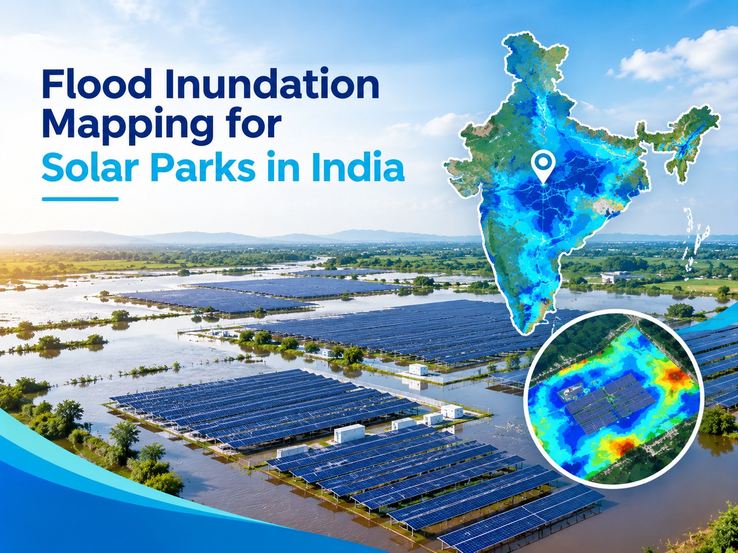
Solar parks require large areas of land and significant infrastructure, including solar panels, electrical equipment, access roads, drainage systems, and transmission facilities.
Since these projects are often developed across open and relatively large landscapes, understanding potential flood exposure is an important part of site planning and risk management.
Flooding can damage equipment, affect site access, interrupt power generation, and increase maintenance requirements. Flood inundation mapping for solar parks in india helps identify areas that may be affected by floodwater under different rainfall and hydrological conditions.
It provides a spatial understanding of how water may spread across a project area and supports better decisions during site selection, design, and development.
What Is Flood Inundation Mapping?
Many people ask what flood inundation mapping actually means and how it can support infrastructure planning. Flood inundation mapping is a process used to identify and visualize areas that could become covered by floodwater. It combines information such as terrain elevation, rainfall, drainage characteristics, river conditions, land use, and hydrological data.
For solar parks, this mapping can show which parts of a proposed site may experience water accumulation or flooding. The results can help planners understand the relationship between the project area and nearby drainage channels, rivers, low-lying zones, and catchments.
A detailed flood map can also support decisions related to panel placement, internal roads, electrical installations, drainage infrastructure, and other important project components.
Why Flood Mapping Matters for Solar Parks
Solar parks depend on uninterrupted access and stable site conditions. Even temporary flooding can create challenges when roads become inaccessible or electrical infrastructure is exposed to water.
Identifying Flood-Prone Areas
Flood inundation mapping can help identify low-lying sections and areas where water may accumulate. This information can be considered before finalizing the layout of a solar park.
Supporting Site Planning
Understanding potential flood exposure allows project planners to consider suitable locations for solar panels, substations, internal roads, control facilities, and drainage structures. Areas with higher flood exposure can be assessed carefully before construction.
Improving Drainage Planning
A solar park needs an effective drainage system to manage rainfall and surface runoff. Mapping can provide useful information about natural flow paths and areas where water is likely to collect.
Protecting Project Infrastructure
Solar panels and associated electrical infrastructure represent substantial investments. Identifying possible flood zones early can help reduce exposure and support suitable engineering and protection measures.
Role of River Flooding in Solar Park Planning
River flooding can become an important consideration when a solar park is located near a river, stream, or other watercourse. Heavy rainfall within an upstream catchment can increase river discharge and potentially affect surrounding land.
The impact may extend beyond the immediate river channel, depending on terrain, rainfall intensity, drainage conditions, and river characteristics. A flood inundation study can help visualize possible water spread and identify parts of the project area that may be exposed.
This is particularly useful when selecting sites close to rivers or when existing drainage channels pass through or around a proposed solar development.
Flood Risk Assessment for Solar Parks
A flood risk assessment examines the potential sources and impacts of flooding at a specific location. For solar parks, the assessment can consider rainfall-driven flooding, river flooding, surface water accumulation, drainage limitations, and other relevant hydrological factors.
The findings can support project teams in understanding potential risks before major construction activities begin.
Catchment Analysis
Catchment Analysis helps understand how rainfall and surface runoff move toward a particular area. The size, shape, slope, drainage network, and characteristics of a catchment can influence the amount and movement of water reaching a solar park.
Studying the catchment around a proposed project provides useful context for understanding potential runoff and flood behaviour.
Hydrological Assessment
Hydrological Assessment focuses on the movement and availability of water within an area. For flood studies, it can involve analysing rainfall, runoff, discharge, drainage patterns, and other relevant hydrological parameters.
For solar parks, this information can contribute to a better understanding of how water may behave during heavy rainfall events and how the site could respond under different conditions.
How Flood Inundation Mapping Is Conducted
Flood inundation mapping generally involves multiple stages of data collection and analysis. The exact methodology depends on the location, project requirements, available datasets, and the type of flooding being investigated.
Data Collection
Relevant information may include topographic data, rainfall records, drainage networks, river characteristics, land use information, soil conditions, and existing infrastructure. Accurate spatial data is important for developing a reliable assessment.
Terrain and Drainage Analysis
Terrain information helps identify elevation differences, slopes, depressions, natural drainage paths, and low-lying areas. These factors influence how water moves across the project site.
Hydrological and Flood Modelling
Hydrological information can be used to estimate runoff and water flow under selected rainfall or flood scenarios. The resulting information can help understand potential flood behaviour across the site.
GIS-Based Flood Mapping
The analysed information can be represented through GIS-based maps. These maps can show areas with different levels of potential flood exposure and provide a visual reference for project planning.
Benefits of Flood Inundation Mapping for Solar Projects
Flood mapping provides several practical benefits during the development of solar parks. It can help identify potential risks before construction, support better site selection, and improve infrastructure planning.
It can also help project teams evaluate drainage requirements and understand where additional protection or design measures may be required. By studying flood conditions during the planning stage, developers can make more informed decisions about the placement of critical infrastructure.
Another important benefit is improved preparedness. Understanding potential flood pathways and affected areas can help teams develop appropriate response and maintenance plans.
Planning Safer Solar Parks Through Flood Analysis
Flood-related information should be considered alongside other site-selection factors such as solar radiation, land availability, accessibility, terrain, transmission connectivity, and environmental conditions. Flood inundation mapping does not replace engineering design, but it provides important spatial information that can support the planning process.
For large solar parks, even small differences in elevation and drainage can influence how water moves across the site. Early assessment can therefore help identify potential concerns before they become expensive construction or operational issues.
Bhoojal Survey provides flood-related mapping and assessment services that can support infrastructure and site planning requirements. By combining spatial analysis with hydrological information, project teams can gain a clearer understanding of potential flood exposure.
Conclusion
Flood Inundation Mapping is an important planning tool for solar parks, particularly where projects are located near rivers, drainage channels, or areas exposed to heavy rainfall. It helps identify potential flood-prone zones, understand water movement, and support decisions related to site layout and infrastructure planning.
Through Catchment Analysis, hydrological assessment, terrain evaluation, and GIS-based mapping, solar park developers can gain useful information about potential flood conditions. Incorporating this analysis at an early stage can support better planning, improve risk awareness, and help protect critical project infrastructure.
FAQs
1. What is flood inundation mapping for solar parks?
Flood inundation mapping identifies areas within or around a solar park that may be affected by floodwater. It uses terrain, rainfall, drainage, hydrological, and spatial data to understand potential water spread.
2. Why is flood mapping important for solar park development?
Flood mapping helps identify areas that may experience water accumulation or flooding. This information can support site selection, panel placement, drainage planning, road design, and protection of important infrastructure.
3. How does river flooding affect solar parks?
River flooding can affect solar parks located near rivers or drainage channels. Rising water levels may spread into surrounding areas, potentially affecting panels, roads, electrical infrastructure, and site accessibility.
4. What does Catchment Analysis include?
Catchment Analysis examines the area from which rainfall and surface runoff can flow toward a particular location. It may consider terrain, slopes, drainage networks, land characteristics, and water flow pathways.
5. Can flood inundation mapping support flood risk assessment?
Yes. Flood inundation mapping can provide spatial information about potential flood extent and water spread. This information can contribute to a broader flood risk assessment for solar park planning and infrastructure development.
Comments
Log in or sign up to join the conversation.