
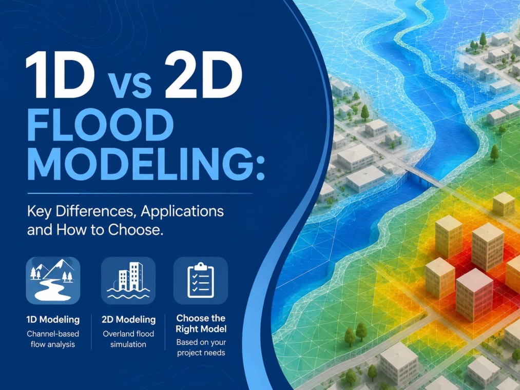
Flooding is not simply about how much water enters an area. Understanding where the water travels, how quickly it moves, how deep it becomes, and which structures or locations may be affected is equally important.
This is why modern flood studies rely on hydraulic and hydrological modelling to understand flood behaviour before it creates serious risks for people, property, infrastructure, and development projects.
One of the most important decisions in a flood study is Choosing Between 1D and 2D Flood Modeling. The right approach depends on the river geometry, terrain, drainage pattern, project requirements, available data, and the level of detail required from the study. In some locations, 1D modelling provides an efficient and reliable solution, while complex floodplains and urban environments may require 2D modelling.
What Is 1D Flood Modeling?
One-dimensional flood modeling calculates water movement primarily along a defined flow path, such as a river, canal, drain, or channel. The model generally uses surveyed cross-sections to represent the geometry of the watercourse and calculates water levels and flow characteristics from one section to another.
This approach works particularly well when water movement is predominantly in one direction and the channel is clearly defined. For example, a confined river passing through a narrow valley may be effectively represented using a 1D model because lateral spreading is limited.
The major advantage of 1D modeling is efficiency. It generally requires less computational processing and can work with a more focused set of survey data. It is therefore useful for river studies, bridge assessments, channel analysis, and preliminary flood evaluations.
What Is 2D Flood Modeling?
Two-dimensional flood modeling evaluates water movement in two horizontal directions across a defined terrain surface. Instead of focusing only on a channel centreline, the model divides the study area into a computational grid or mesh and calculates how water moves from one area to another.
This makes 2D modelling particularly useful for locations where floodwater can spread laterally and follow multiple pathways. Urban areas, broad floodplains, low-lying terrain, drainage networks, and complex river systems are common examples.
A major benefit of 2D modelling is the detailed spatial information it can provide. It can help estimate flood depth, flow velocity, direction, and inundation extent across the study area. This information is valuable when determining which roads, buildings, industrial areas, agricultural land, or infrastructure assets may be affected.
1D vs 2D Flood Modeling: Key Differences
The fundamental difference is how each method represents water movement.
A 1D model focuses on flow along a defined channel or pathway. It is suitable when the flow direction is relatively predictable and lateral spreading is limited. A 2D model represents movement across a surface, allowing water to spread in multiple directions according to terrain and hydraulic conditions.
For a narrow river channel, 1D may provide sufficient information at a lower cost and with a shorter modelling period. For a wide floodplain where water can move around roads, buildings, embankments, and other obstacles, 2D can provide a much more detailed representation.
When Should 1D Flood Modeling Be Used?
1D modelling is generally appropriate when the study area contains a clearly defined channel and the majority of flow remains within that channel. It can be useful for bridge and culvert assessments, river reach studies, channel capacity analysis, and locations where floodplain flow is relatively limited.
It is also useful during preliminary assessments when the primary objective is to understand water levels and flow behaviour along a defined river or drainage system.
When Is 2D Flood Modeling More Suitable?
2D modelling becomes more valuable when floodwater can move in several directions. Wide floodplains, urban environments, flat terrain, complex drainage networks, and areas with significant overland flow are typical examples.
Urban flooding is particularly challenging because water may move along roads, through open spaces, around buildings, and through drainage structures. A two-dimensional approach can represent these spatial flow patterns more effectively.
Similarly, floodplain projects often require detailed information about the extent and depth of inundation. This makes 2D modelling useful for infrastructure planning, site feasibility studies, flood hazard evaluation, and detailed flood mapping.
Can 1D and 2D Modeling Be Combined?
Yes. In many real-world projects, a combined 1D-2D approach can provide a practical balance between computational efficiency and spatial detail.
For example, the main river channel can be represented using 1D modelling while the adjoining floodplain is represented using 2D modelling. Water can then be allowed to move between the channel and floodplain when the river exceeds its normal capacity.
This approach is especially useful when a project includes both a clearly defined river channel and a large surrounding area where floodwater spreads across the terrain.
Importance of Accurate Data in Flood Modeling
Regardless of whether a project uses 1D or 2D modelling, the quality of the input data has a direct effect on the reliability of the results. Relevant information can include rainfall records, river discharge data, channel geometry, terrain elevation, drainage characteristics, land use, hydraulic structures, and historical flood information.
A proper Catchment Analysis helps establish how rainfall and runoff are likely to behave within the drainage area. A detailed hydrological assessment can then support the estimation of design flows and other hydrological inputs required for hydraulic analysis.
For 2D studies in particular, reliable terrain data is critical because small elevation differences can significantly influence the direction and extent of surface water movement.
How to Choose the Right Modeling Approach
There is no universal answer to whether a project needs 1D or 2D modelling. The correct choice should be based on the physical characteristics of the site and the purpose of the study.
A professional assessment should consider:
Whether the flow is confined to a defined channel
The width and complexity of the floodplain
Terrain characteristics
Urban development and drainage patterns
Availability and quality of survey data
Required level of spatial detail
Regulatory or project requirements
Computational and project timelines
This assessment prevents both over-simplification and unnecessary complexity.
How Bhoojal Survey Supports Flood Modeling Projects
Bhoojal Survey provides professional Flood Modelling Services designed around the specific conditions and objectives of each project. The approach can include hydrological analysis, hydraulic modelling, terrain assessment, flood mapping, and interpretation of model outputs.
Rather than selecting a modelling method simply because it is more advanced, the focus should be on selecting the approach that represents the site's actual flood behaviour and produces useful engineering information.
For projects involving rivers, floodplains, urban drainage, industrial development, infrastructure, or other flood-sensitive locations, a properly planned modelling study can identify potential risks before they become expensive design or construction problems.
Conclusion
The choice between 1D and 2D flood modeling is ultimately a technical decision based on how water behaves at the project site. 1D modelling can be highly effective for defined channels and relatively straightforward flow conditions, while 2D modelling offers greater spatial detail where water spreads across complex terrain.
A well-designed hydraulic modelling study does more than generate flood maps. It provides information that can support safer planning, better engineering decisions, and more informed flood mitigation strategies. Bhoojal Survey helps project teams evaluate these requirements and develop modelling studies suited to their site conditions and objectives.
FAQs
1. What is the main difference between 1D and 2D flood modeling?
1D flood modeling primarily calculates water movement along a defined channel or flow path, while 2D modelling calculates movement across a surface in two horizontal directions. 1D is often suitable for confined channels, whereas 2D is more useful where floodwater spreads across wider and more complex areas.
2. Is 2D flood modeling always better than 1D?
No. The best approach depends on the project. A 1D model can be accurate and cost-effective where flow is confined to a well-defined channel. Using 2D modelling where it is not necessary can increase data requirements, processing time, and project costs without providing meaningful additional value.
3. What data is required for flood modeling?
Depending on the project, data may include rainfall and discharge records, river cross-sections, terrain elevation, drainage information, land use, hydraulic structures, and historical flood observations. High-quality terrain information is particularly important for detailed 2D modelling.
4. Why is Flood Inundation Mapping important?
Flood Inundation Mapping shows where water may spread during selected flood scenarios and can provide information about flood depth and extent. These outputs help identify potentially affected locations and support planning, design, mitigation, and risk management decisions.
5. When should a project consider professional Flood Modelling Services?
Professional modelling should be considered when a project is located near rivers, drainage channels, floodplains, low-lying terrain, or areas with known flood concerns. It is particularly valuable for infrastructure, industrial, urban development, and other projects where understanding flood behaviour can influence site planning and engineering design.
Comments
Log in or sign up to join the conversation.